With the ongoing fascination of flying, who better to assist
us with these new adventures than Delvy.
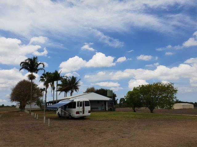
Last week we headed north from the
Whitsundays to the Burdekin district for some time in the air, camping out at
the Ayr airfield with a trillion mosquitoes and other bugs. Thankfully, the
aerodrome building, complete with flyscreens and cooling fans, gave us somewhere
to retreat safely before we sealed ourselves inside the motorhome for a good
night’s sleep.
 |
| Delvy at the Ayr Aerodrome club |
 |
| Jabiru hangar |
 |
| Sunset at the airstrip |
At dawn, we were welcomed awake by more flying beasts: this
time of the feathered variety. A cross section of tonal honks drew our
attention skyward as hundreds of black and white magpie geese effortlessly
swished above us. The reason for the mass of friendly flying friends soon
became apparent once we were up in the sky.
 |
| Sunrise at Ayr Aerodrome |
 |
| Magpie Geese |
 |
| A skein of geese |
Travelling over 200 kilometres and with a
catchment
area of approximately 130,000 square kilometres, the Burdekin
River is Australia's largest river by (peak) discharge volume. The river's
lower catchment is northern Australia's largest irrigation area with
approximately
80,000
hectares under irrigation serviced by 391 kilometres of pipeline and
channels and 13 pump stations. Subsequently the area is littered with wetlands
– a perfect place to attract birds and insects.
Sugarcane is the predominant
crop grown here, but mangoes, sandalwood, grain legumes, watermelons and
rockmelons are also part of this enormous food bowl.
 |
| Ayr from the air |
Four sugar mills are spread either side of this impressive
river, which also divides the main towns of Ayr and Home Hill. A road trip of only 12 kilometres separates the
two, and up until 1957 each town provided the same essential services, as every
year the district would be cut in half for weeks at a time when the Burdekin
River flooded over the low-level bridge.
 |
| The Burdekin River with sand levees to keep the freshwater level higher |
A reliable roadway was required between north and south
Queensland, and so the 1.1-kilometre, ten thousand tonne steel
‘Silver Link’
bridge was built, taking 10 years to do so. Built on sand, as there is no rock
in the river bed, 11 x 30 metre caissons each weighing 4000 tonnes were sunk into
the riverbed to provide support for the 10-span bridge. Floodwaters are yet to
pass over this
National
Engineering Heritage Landmark.
 |
| The Silver Link |
 |
| Crossing the Burdekin on the Silver Link. Stumps of the old low level bridge can be seen clearly |
Now back to flying. Whilst I enjoyed a scenic flight in the
Jabiru J-170, Gary is wanting a
Recreational
Aviation certificate and is therefore learning to fly. So, stay tuned
for more flying adventures.
 |
| Another Delvy adventure |


This comment has been removed by a blog administrator.
ReplyDelete